
Sutton State Forest
This is the third part of our trek on July 14, 2012 through the Sutton State Forest. At this point we had backtracked to point #24 on the main trail, and were now ready to diverge from the main trail. We headed south off the trail.
For the first part of this walk, go to the Sutton State Forest Trek page.
If you click on the below map you'll get a larger version of it. The GPS points marked by us are mentioned in the text below.

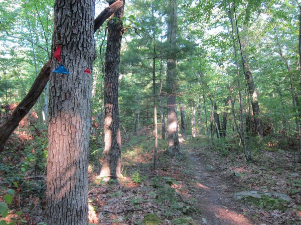
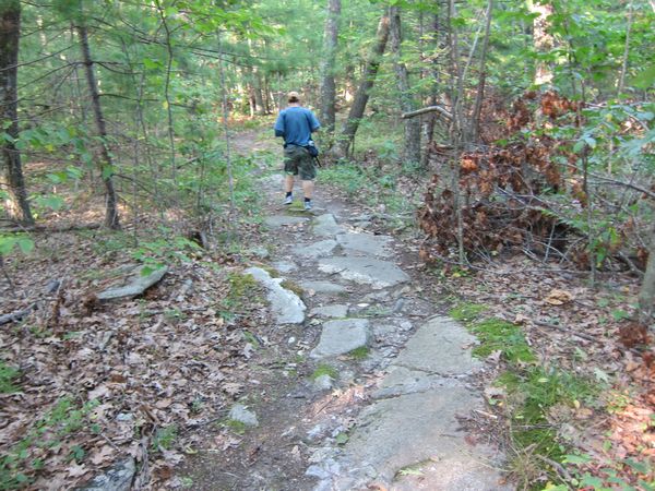
When we got back to the fork we marked as #24, we were at step 4215 (3298 net). There was a fence here, a no tresspassing sign, and a blue diamond marker. We decided to now go LEFT here, off the main trail. There was a little stone wall to cross to get onto this side trail.
The no tresspassing sign at the side fork.
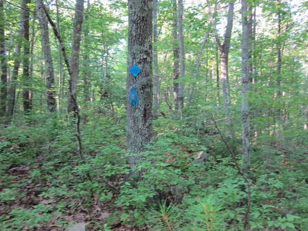
The blue diamond mark at the fork.
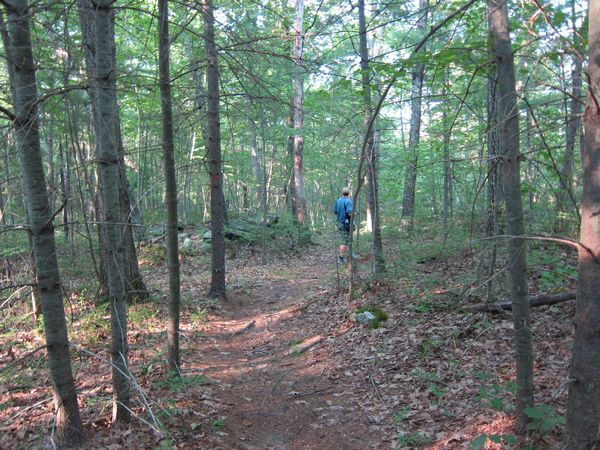
Right away down this side path we hit yet another fork, left or right. We went RIGHT.
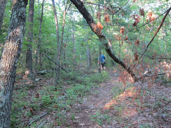
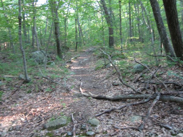
This headed up a gradual hill and was much narrower. Much like a single track for mountain biking. It was thin and snaky, and mossy.
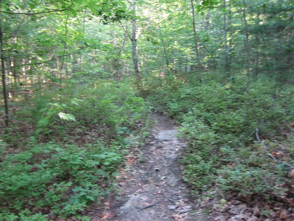
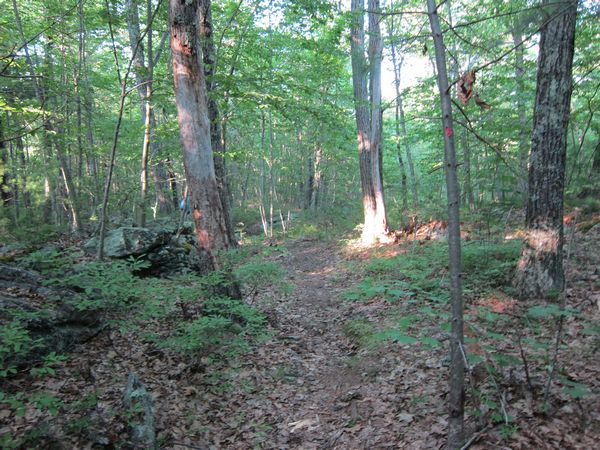
Here we were going along the path up on the mossy rock while right below us, to the left, another path paralelled ours.
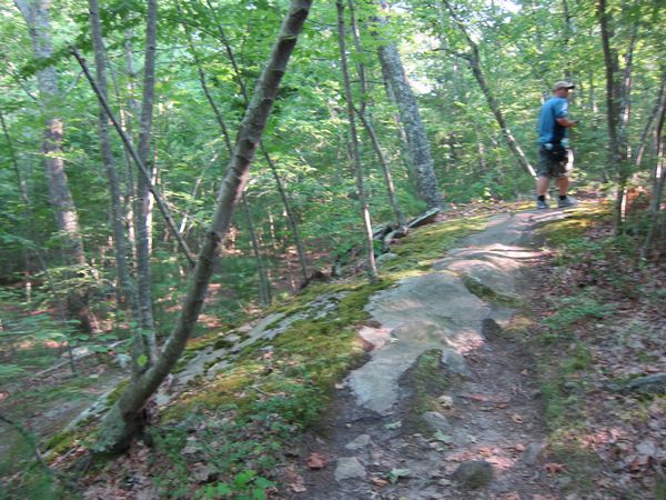
The path moved along an interesting rock.
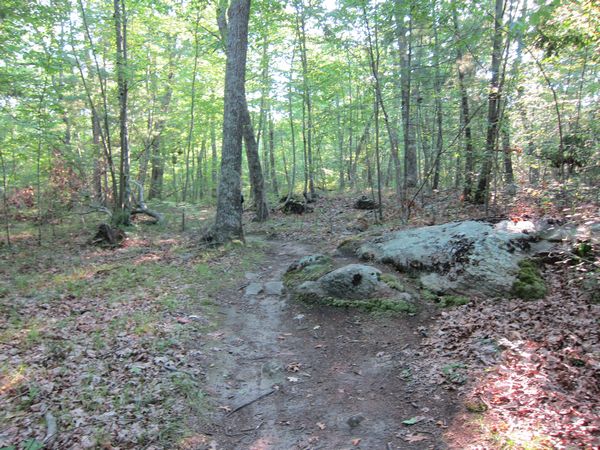
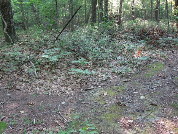
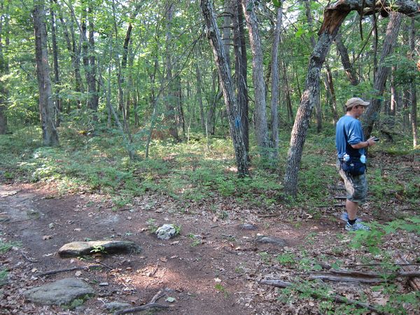
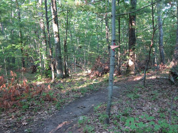
We marked spot #29 as we crossed an open trail-ish area.
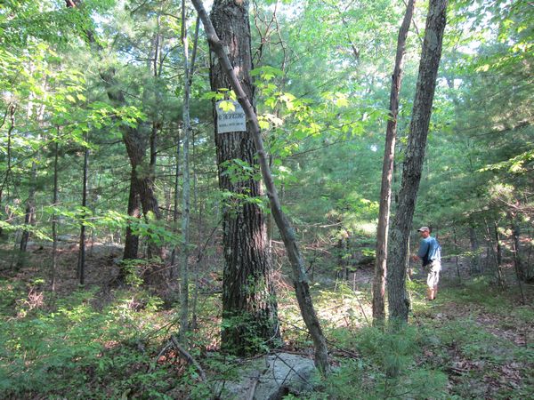
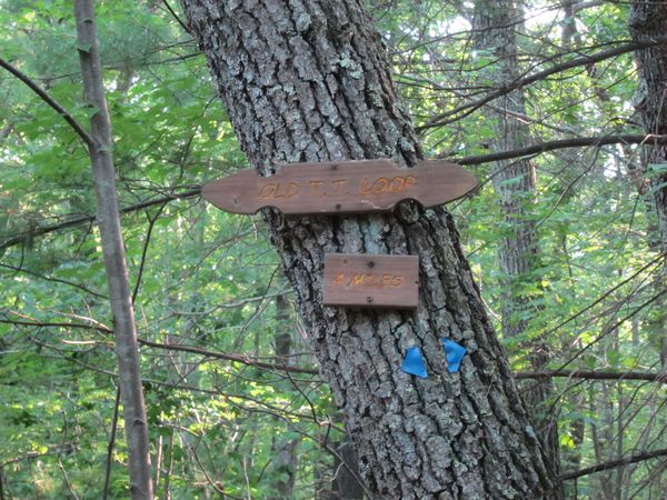
At step 5614 (4697 net) we hit a wooden sign on a tree. It says Old T.T. Loop - 4 Miles. Blue triangles pointed both left and right here. We had come in from the left path.
At this same juncture point there was also a path leading at a right angle away from the loop. This is standing with our back to the wooden sign, looking down the side path. You can see it's marked with red triangles.
The red triangle path. You can see one high on the tree to the right. There are trees across it.
At GPS mark #31 we hit a fork. It appears the red path goes right, but we decide to go left. We do find red triangles along the left path as well.
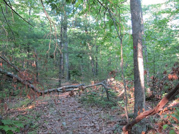
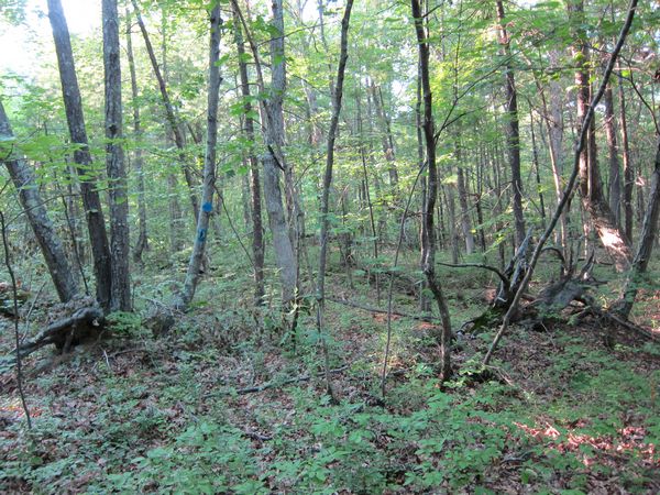
The trail has trees across it and is fairly faint.
Narrow path.
Red marker high right.
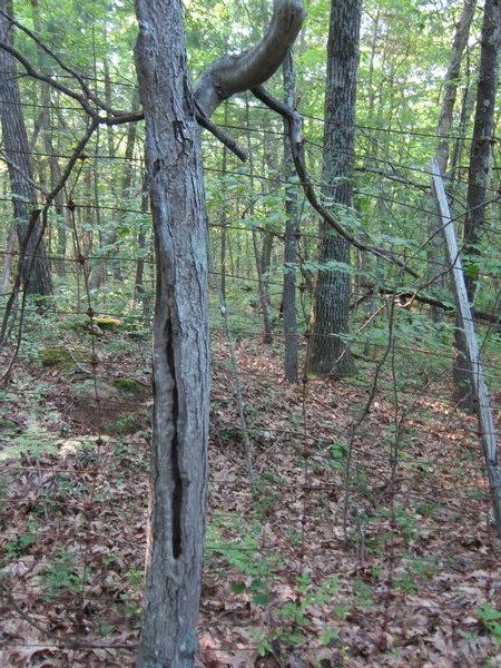
There are also signs along the left side marking the edge of the state forest.
A fence runs along the left as well.
At one point we can see a trail down to the right.
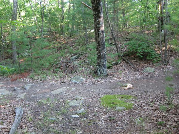
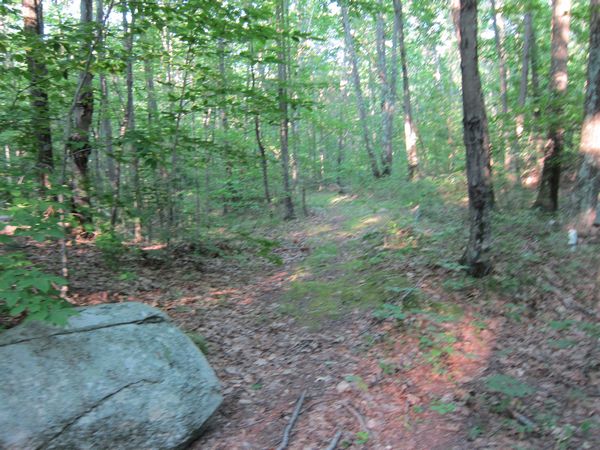
Interesting rocky trail.
No tresspassing sign and red triangles continue.
At step 6125 (5208 net) we find fork marked #32 on our GPS. Red triangles go right, no tresspassing sign, fence on right. We go LEFT.
Now we're back at the main path, this was #23 on our GPS mark. This photo looks back up the side path from the main path.
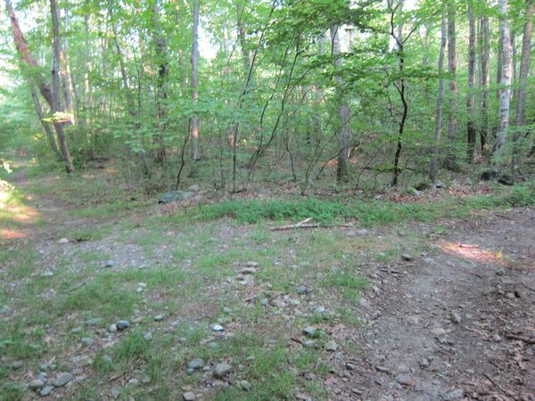
We continue back towards our car on the main path. Here we're back at fork #22 - the mossy fork which goes right from the main path, as one walks towards Mendon Road. I.e. originally on the way into the forest this fork was on the left. Here's an image of that fork.
That path ends up dead ending at a valley near Mendon Road.
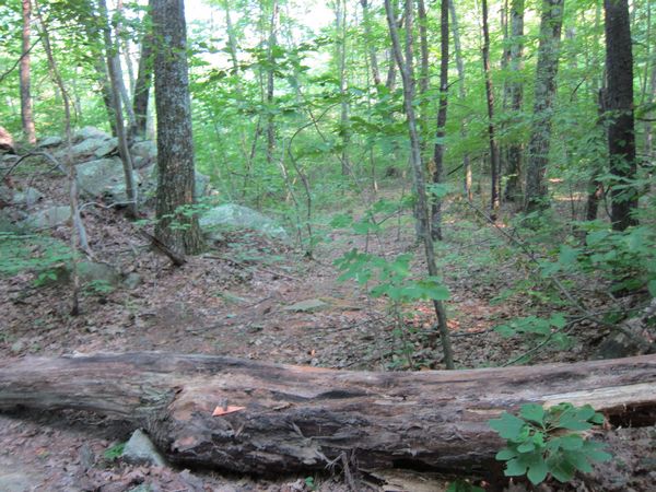
Back on the main trail again, heading back towards Mendon Road. Here's a side path with a fallen log with a red triangle on it. This is spot #33.
A last look at the main, first fork near the exit / entrance of the trail. This was at 7200 steps (6283 net). Our GPS marked the entire trail we took as being 3 1/4 miles long.
Sutton State Forest Trek - July 14 2012 - main page
Sutton State Forest - main page
Top Ten Things to Do in Sutton MA
Staying Fit in Sutton MA - ideas for things to do
Sutton Massachusetts Photos Main Page

